Discover more
We’re creating something amazing
A world first that will transform what AI can understand and do. Get in touch to find out more or enquire about joining our Private Preview Program.
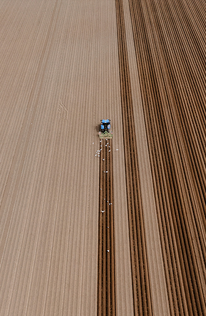
Enabling AI to understand, and predict, daily physical changes on the world’s surface.
Xoople closes the physical-world knowledge gap that costs enterprises and governments billions a year. Together with our strategic partners, we deliver verifiable Earth data at a global scale.


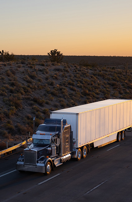
The lack of physical data is the primary barrier to further AI transformation. Enterprise and government users rely on Xoople to understand what’s happening in the real world and how it might impact their organization’s operations.

Our data infrastructure layer will flow into every tool, and every enterprise stack — bringing Earth’s context to every business decision.
We are delivering a precise, continuous context for the physical world, driving every decision. Deep time-series Earth measurements with unparalleled quality and global coverage. We are always creating Earth’s System of Record.

We convert trillions of pixels and precise measurements into consumable, open formats, fueling analytics and foundation models.

Enterprise-grade, agent-ready, universally accessible. Natively embedded in the enterprise workflow.

A reliable, always-on baseline for faster and better decision-making, based on real-time knowledge of the physical world.

GOVERNMENT
Working with Xoople’s Earth data, Alaska’s Department of Transportation now has the visibility to monitor ice-to-water transitions and slope risk across thousands of miles of remote areas, without field-based validation. The insights have become a critical input for federal grant submissions, enabling the team to fulfil their safety mandate, more efficiently.
ENGINEERING & CONSTRUCTION
Using Xoople’s data indices, a global engineering company has transformed project site monitoring with a signal layer that identifies change and reduces risk. This data has delivered greater visibility and enabled the use of AI to automate insights, at scale.
Industries


"We’ve been waiting for something like this. Everyone’s talking about AI, but no one’s delivered the data that makes it possible to use at this scale"
We’re creating something amazing
A world first that will transform what AI can understand and do. Get in touch to find out more or enquire about joining our Private Preview Program.
NEWS & PERSPECTIVES